
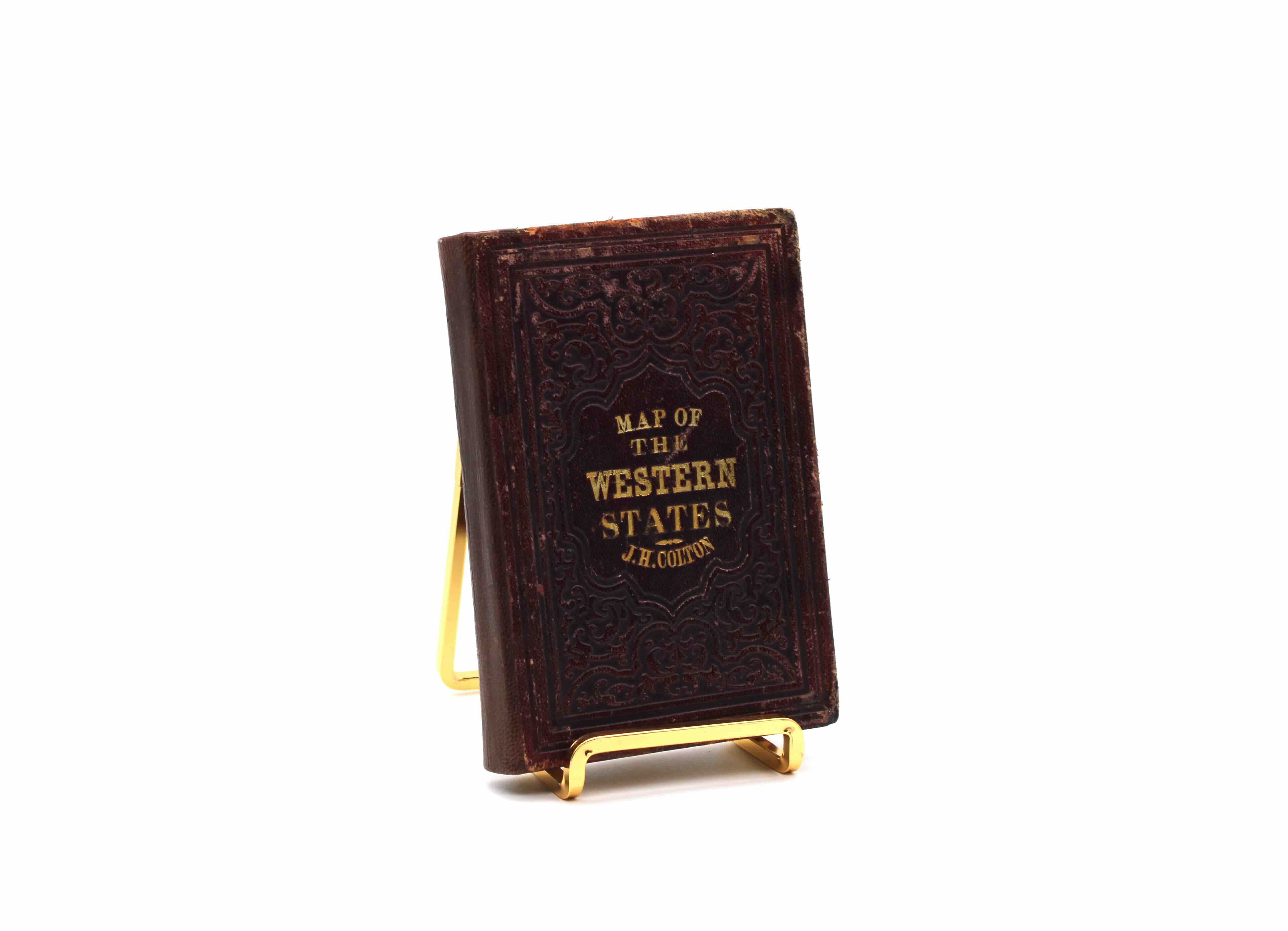
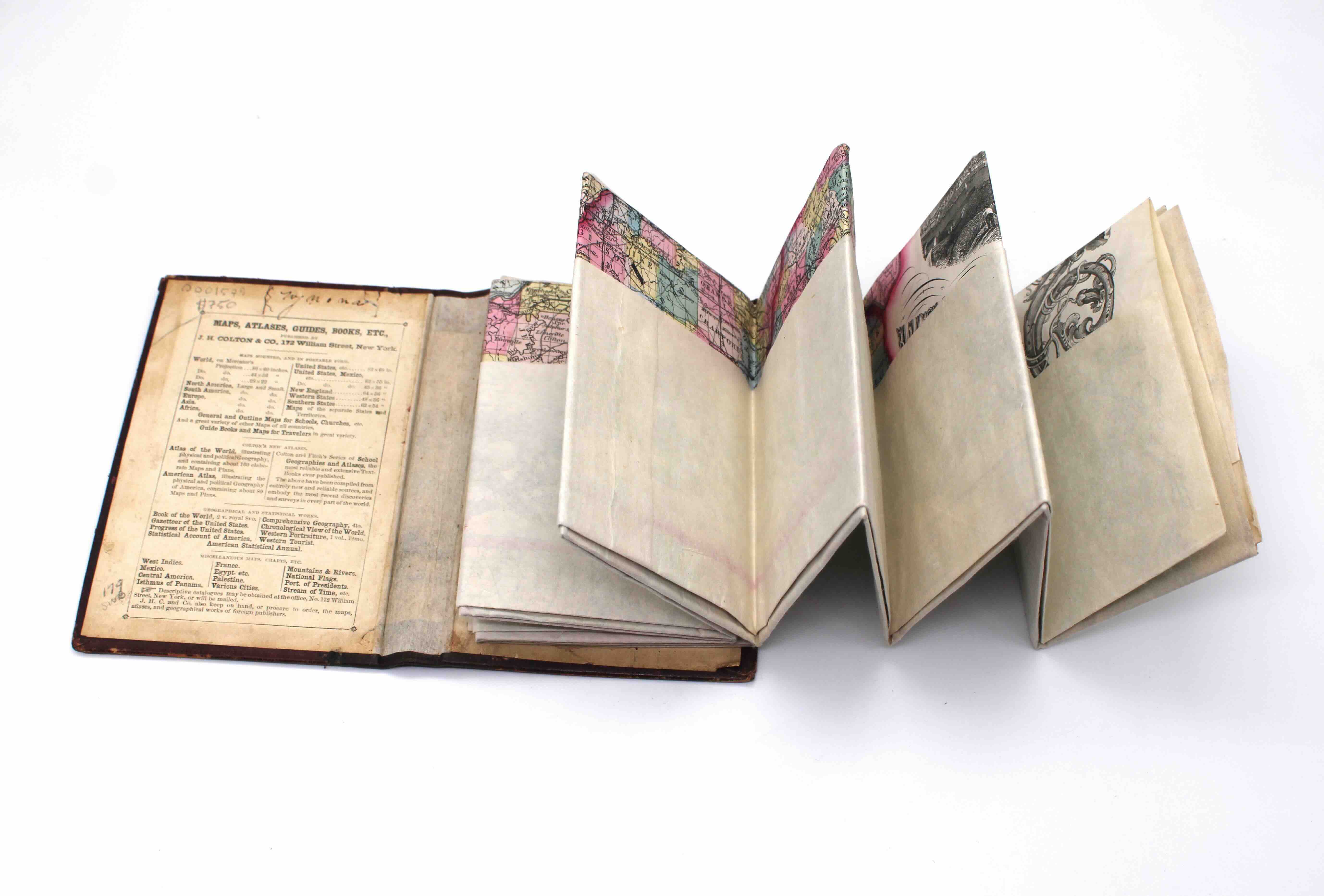
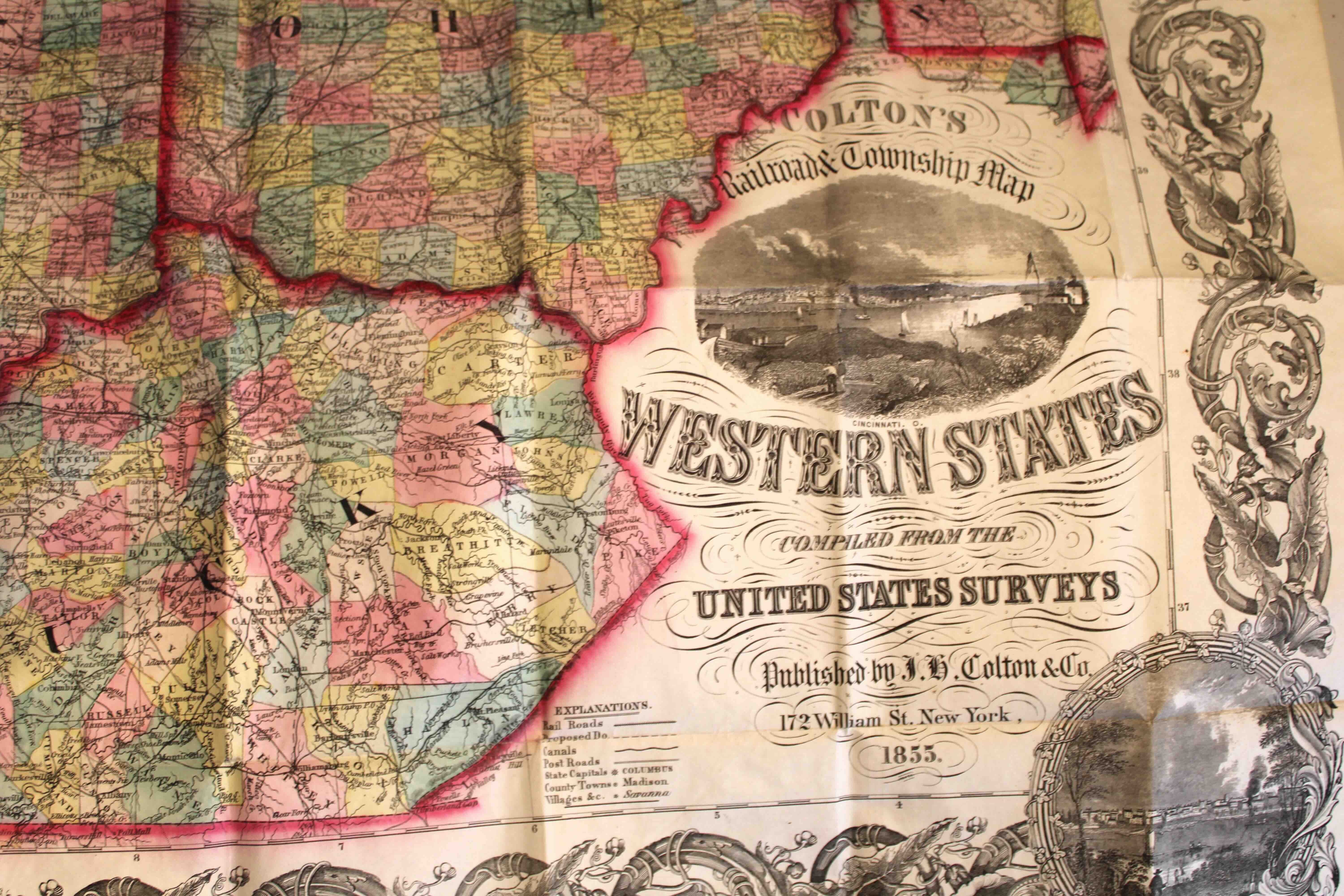
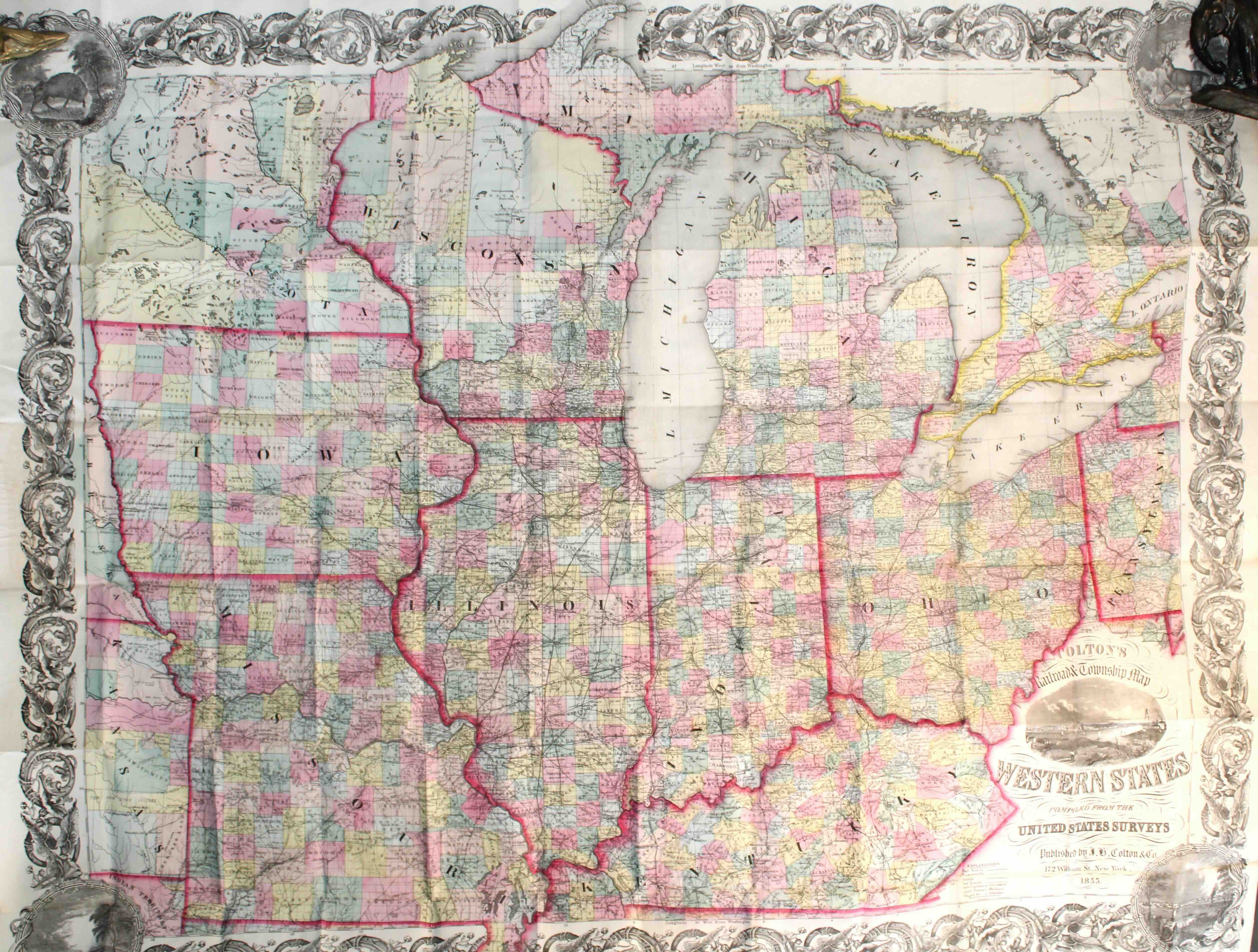
Railroad & Township Map of the Western States. By J.H. Colton. Lithograph Folding Map. Hand Colored. J.H. Colton & Co. New York, 1855.
$750.00
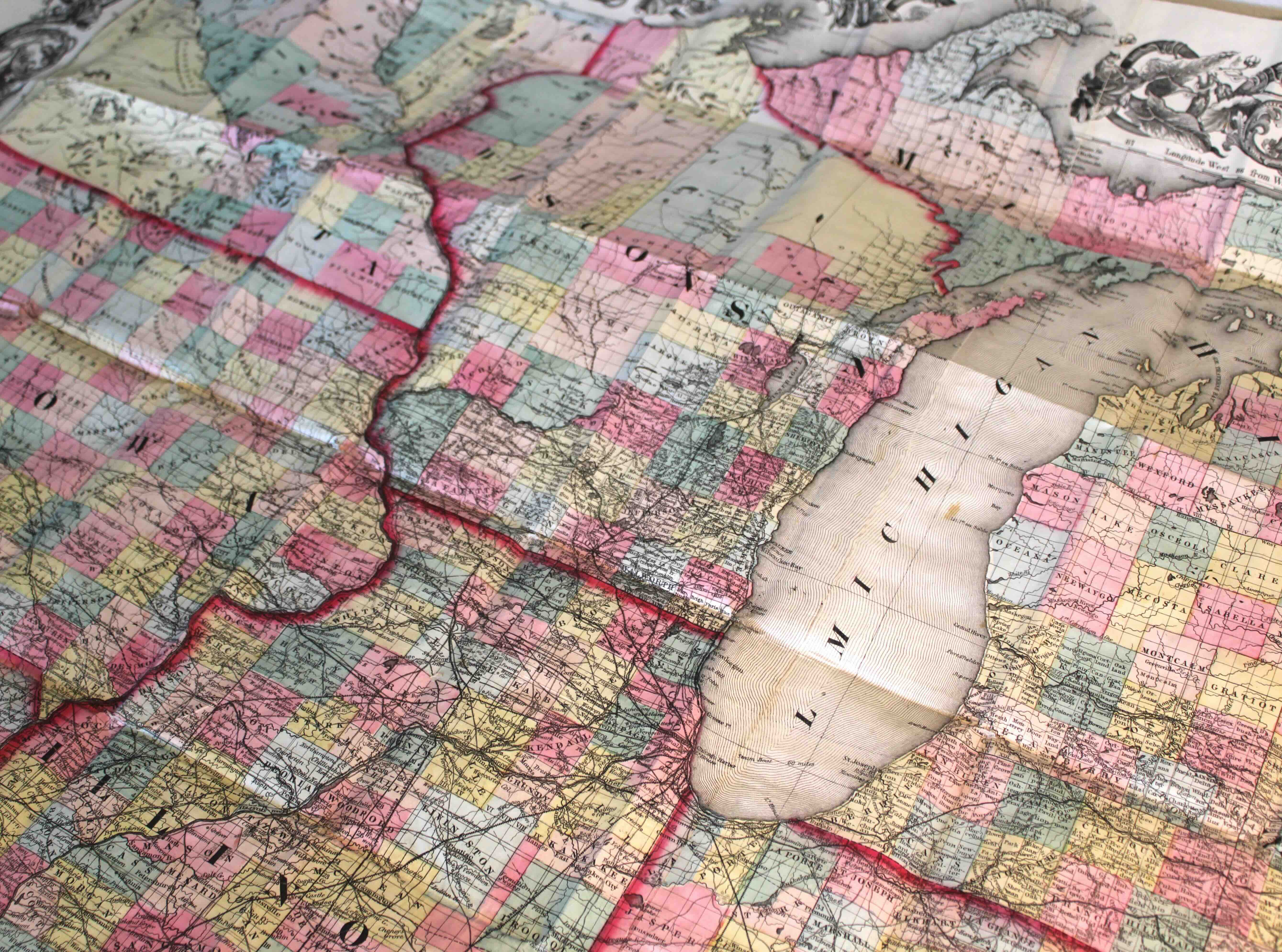
Joseph Hutchins Colton was an American printer and cartographer who became the most renowned mapmaker in the world during the mid-nineteenth century. He grew his mapmaking business tremendously, earning contracts with nations all over the globe to compile their surveys and geographic data into some of the most accurate maps yet created. This is one such example: the Railroad & Township Map of the Western States. Produced in 1855, it shows the latest states formed in the union as well as some of the edges of the western territories. The states included are Iowa, Missouri, Wisconsin, Michigan, Illinois, Indiana, Ohio, and Kentucky. Minnesota partially appears in the top left corner as a territory. It is a spectacular example of Colton’s work and a snapshot of the cartographic history of the United States.
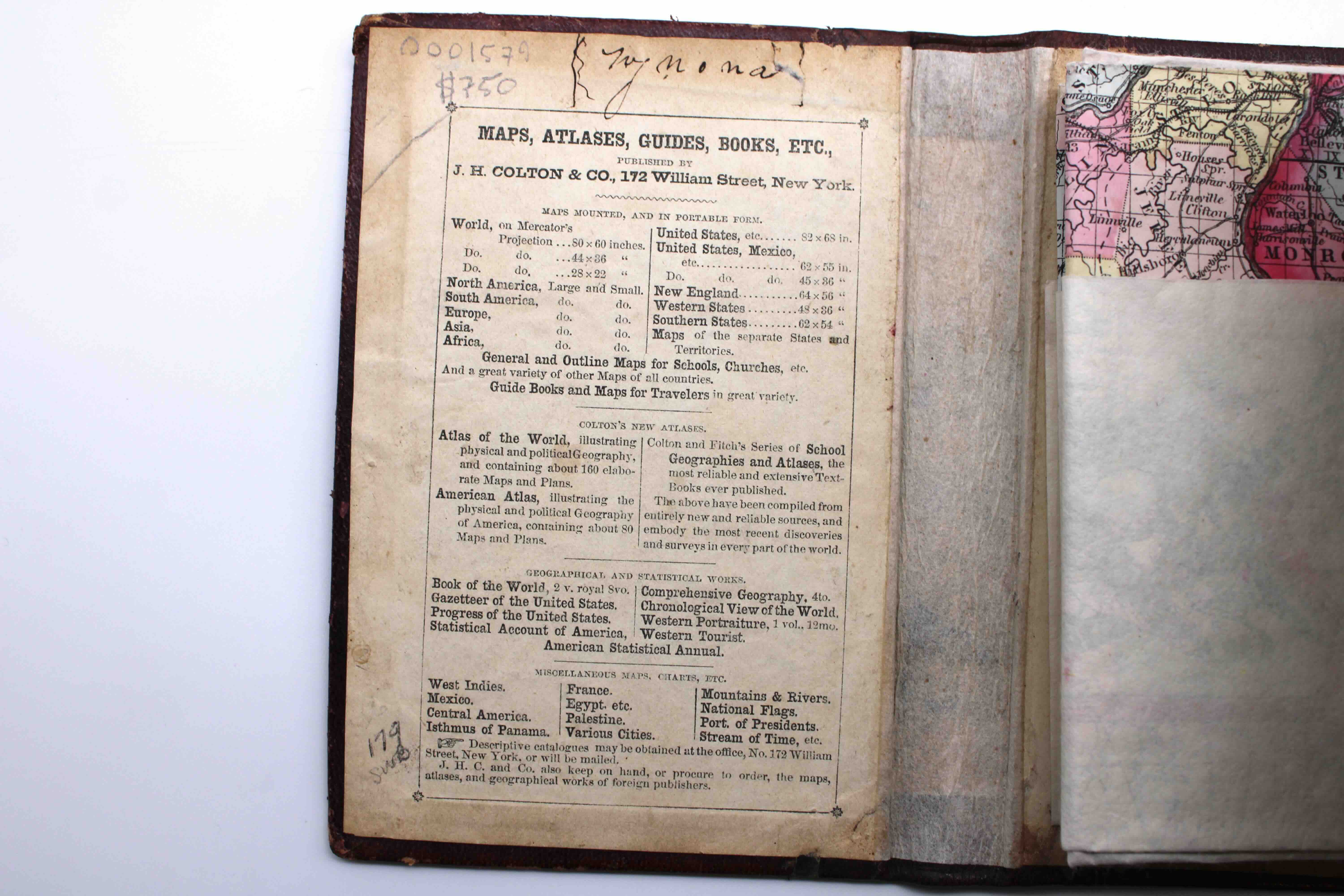
This large folding map is in about-fine condition. Pasted into the original drab leather, very good with rubbing to boards and spine rebacked in modern leather. Former owner’s signature and marks to pastedown. Folding map is fine. Hand colored. Measures 34.25 inches by 42.5 inches when unfolded.
An about-fine 1855 Colton map of the Western States.
1 in stock
Description
Railroad & Township Map of the Western States. By J.H. Colton. Lithograph Folding Map. Hand Colored. J.H. Colton & Co. New York, 1855.
Additional Information provides shipping weight and dimensions.
Additional information
| Weight | 2 lbs |
|---|---|
| Dimensions | 12 × 9 × 4 in |